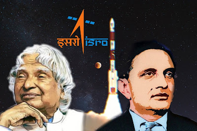
ISRO Free Course on Basics of Remote sensing, GIS & GNSS technology and their applications
The Indian Space Research Organisation (ISRO) is inviting application from the undergraduate students for a 15-week online free course on basics of Remote Sensing, Geographical Information System (GIS) and Global Navigation Satellite System (GNSS) technology and their applications. This is a 15 week course conducted by IIRS through Live and Interactive mode. The course constitutes 77.5 learning hours spread across three modules namely Basics of Remote Sensing, Global Navigation Satellite System and Geographic Information System and Applications of Geopspatial technology. The syllabus and the lecture content is modified every year by the faculty based on the feedback received and the emerging trends in the technology. As well as the course has been approved by the All India Council for Technical Education (AICTE).
What will you learn during the course?
• The students will spend 77.5 hours, spanning over 15 weeks, learning about remote sensing, global navigation satellite system and geographic information system, and applications of geospatial technology.
• The course infact includes various digital Image processing techniques namely Image Rectification and Registration, Image Enhancement techniques, Image Classification Techniques and Accuracy Assessment. Theoretical concepts is followed up with the practical demonstration using free and open source softwares.
• Students are also given the option of either registering for individual courses, or all three courses.
The Course Consists of Four Modules:
• Remote Sensing and Digital Image Analysis:
Students will be taught basic principles of remote sensing, earth observation sensors and platforms, spectral signature of different land cover features, image interpretation, thermal, and microwave remote sensing. Additionally, they will also learn about digital image processing, which entails rectification and registration, enhancement, classification and accuracy assessment techniques.
• Global Navigation Satellite System:
Students will learn about GPS and GNSS, receivers, processing methods, errors and accuracy.
• Geographical Information System:
This entails learning about GIS, databases, topology, spatial analysis and open source software.
• RS and GIS Applications:
Under this, students will learn about agriculture and soil, forestry and ecology, geoscience and geo-hazards, marine and atmospheric sciences, urban and regional studies, and water resources.
Students will also see a practical demonstration using free and open-source software.
Important Things to know:
• This course will be conducted by the Indian Institute of Remote Sensing (IIRS) on the SWAYAM platform.
• On completing the course, the students will receive credit points.
• Dr. Poonam S Tiwari who is a scientist and teaching faculty at IIRS, ISRO, Dehradun, will conduct the course.
Important Dates:
• The course will start on : 20 January 2021 and will be performed till May 5 2021.
• The last date to enroll for the course is : 31 January 2021.
How to Apply:
• For more information : CLICK HERE
• To join the course : CLICK HERE
* Must Read :


